Powerplants
A data module to estimate global powerplant capacities for any region in the world at any resolution.
A data module to estimate global powerplant capacities for any region in the world at any resolution.
Contributors


Paths
results
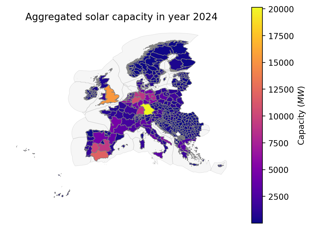
aggregated_capacity<results>/{shapes}/aggregated/{adjustment}/{category}.parquetAggregated powerplant capacity per polygon in the given shapefile.powerplants<results>/{shapes}/powerplants/{adjustment}/{category}.parquetDisaggregated powerplants within polygons in the given shapefile.
snakemake_defaults
logs<logs>location of snakemake log files.resources<resources>location of module resource (input) files.results<results>location of module result (output) files.
user_resources
imputed_powerplants<resources>/user/{shapes}/impute/{category}.parquetOptional. Files with point-specific powerplant data to impute on top of the files produced by this module. Useful when important powerplant facilities are missing in the source datasets. Can also be used to replace data when combined with `excluded_ids` in the configuration.proxy_rooftop_pv<resources>/user/{shapes}/proxies/rooftop_pv.tifProxy raster to use to estimate rooftop PV capacity.shapes<resources>/user/{shapes}/shapes.parquetGeoParquet shapefile with the desired regional disaggregation. IMPORTANT: shapes must add up to whole countries to ensure proxied national statistics are correct.wemi<resources>/user/WEMI.xlsWind Energy Market Intelligence dataset. This optional dataset will replace the GEM GWPT dataset if selected in the configuration.
Wildcards
adjustment- Whether or not total capacity per country has been re-scaled to fit national statistics. Options: "adjusted" or "unadjusted".
category- Powerplant category. A total of eight are available: bioenergy, fossil, geothermal, hydropower, nuclear, large_solar, solar, and wind. Note that "solar" is only available for aggregated cases.
shapes- name of the provided shapefile.