CO2Stop Carbon Dioxide Removal
A module to aggregate CDR potential in Europe into flexible spatial resolutions, using the CO2Stop dataset.
A module to aggregate CDR potential in Europe into flexible spatial resolutions, using the CO2Stop dataset.
Contributors

Paths
results
cdr_group<results>/{shapes}/{scenario}/{cdr_group}.parquetparquet table with aggregated CO2 sequestration potential for a specific CDR group type and scenario. Potential is in MtCO2. This is the total potential, not an annual rate!total_aggregate<results>/{shapes}/{scenario}/totals.parquetparquet data table with the sum of all CDR groups in a specific scenario. If you do not distinguish between CDR facility types in your study, this is likely the file you want.
snakemake_defaults
logs<logs>location of snakemake log files.resources<resources>location of module resource (input) files.results<results>location of module result (output) files.
user_resources
user_shapes<resources>/user/{shapes}/shapes.parquetRegion geometries in parquet format. These should conform to the schema defined in https://github.com/calliope-project/module_geo_boundaries/.
Wildcards
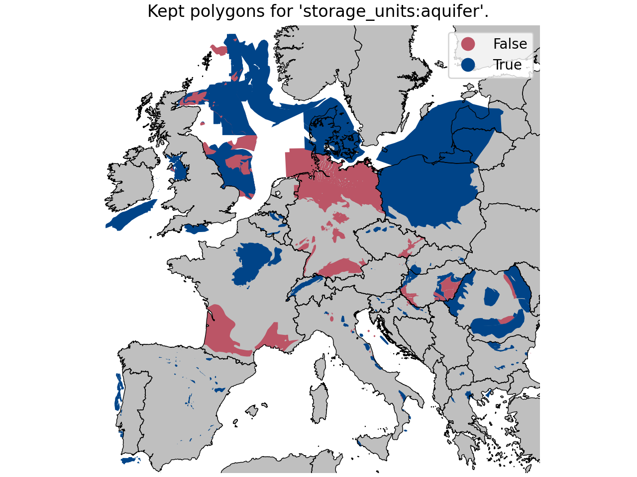
cdr_group- type of CO2 storage asset. Can be 'aquifer', 'gas', or 'oil'.
scenario- requested CO2Stop CDR scenario. Can be 'low', 'medium', or 'high'.
shapes- name of the provided shapefile case.