Area potentials
This module performs geospatial analyses to determine the available land area for specific technologies, on a by-pixel basis and aggregated to given geographic boundaries.
This module performs geospatial analyses to determine the available land area for specific technologies, on a by-pixel basis and aggregated to given geographic boundaries.
Contributors
Ivan Ruiz Manuel 💻
Jann Launer 🤔
Linh Ho 💻🤔
Stefan Pfenninger-Lee 💻📖🤔
Tim Tröndle 🤔🔣
Paths
results
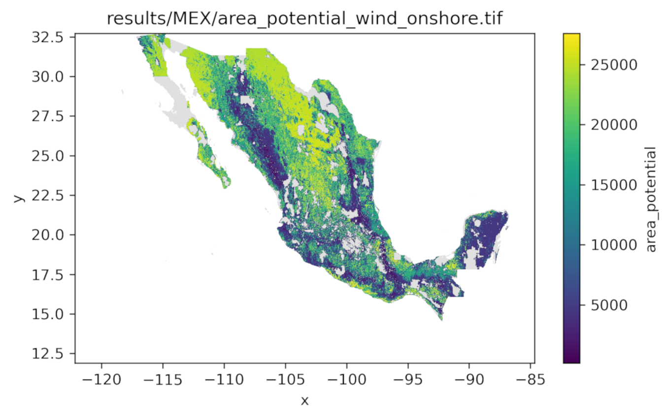
area_potential<results>/{shape}/{scenario}/area_potential_{tech}.tifArea potential GeoTIFF raster in EPSG:4326 for the specified technology across all subunits.
snakemake_defaults
logs<logs>location of snakemake log files.resources<resources>location of module resource (input) files.results<results>location of module result (output) files.
user_resources
shapes<resources>/user/shapes/{shape}.parquetRegion geometries in GeoParquet format. The module internally normalises these geometries and transforms them to EPSG:4326 before processing. These should conform to the schema defined in https://github.com/calliope-project/module_geo_boundaries/blob/main/workflow/internal/shape.schema.yaml.wdpa<resources>/user/wdpa.gdbWDPA protected areas database from https://www.protectedplanet.net/ in GeoDB format (choose 'File Geodatabase' when downloading).
Wildcards
scenario- Scenario name from the module configuration.
shape- Name of the shape to be processed, e.g., 'world', 'europe', 'MEX'.
tech- Name of the technology, e.g., 'pv_rooftop' or 'wind_offshore'. Available technologies are defined in the module configuration.